Komentarz
Membership info
Register new
Login
miasto:
strona główna
raporty
ogólnie w Europie
temat dnia
prognoza
Polska
świat
wskaźnik UV
woda
szukaj
mapy pogody
mapy eksperta
pogoda
aktualna pogoda
szukaj
radar
z satelity
burze
webcams
burza zwrotnikowa
archiwum
wykresy
tabele
klimat
wykresy
szukaj klimatu
planista podróży
sport
żeglarstwo
Wimbledon
Wyścig Dookoła Francji
sporty zimowe
extra
pogoda - fakty
wiatr - świat
klimat - świat
ojcowie meteorologii
wiedza o pogodzie
Philip Eden
Wyciek ropy naftowej
Fukushima
Popiół wulkaniczny
Wideo
serwisy
Mobile Weather
B2B
darmowe serwisy
opinia eksperta
stały gość
Press Release
rolnych pogoda
Ostrzeżenia pogodowe Wielka Brytania
dzisiaj
so. 27
nie. 28
pon. 29
wto. 30
śro. 31
00:00-06:00
06:00-12:00
12:00-18:00
18:00-24:00
Be aware
Be prepared
Take action
Coloured regions on the map show where severe weather warnings have been issued.
Wind
Rain
Snow
Ice
Fog
Ostrzeżenia pogodowe, 27.07.2024, Wielka Brytania
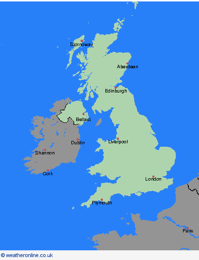
Wielka Brytania
Przegląd
Orkady & Szetlandy
Highland & Eilean Siar
Grampian
Strathclyde
Central, Tayside & Fife
SW Scotland, Lothian Borders
Irlandia Północna
Walia
North West England
North East England
Yorkshire & Humber
West Midlands
East Midlands
Anglia Wschodnia
South West England
Londyn & South East England
archiwum
27.07.2024
dzisiaj
<
lipiec
S
M
T
W
T
F
S
1
2
3
4
5
6
7
8
9
10
11
12
13
14
15
16
17
18
19
20
21
22
23
24
25
26
27
28
29
30
31
>
<
2024
>
Reklamy
Reklamy